Services
Aerial capture, scoped to the deliverable
Five service lines, each with a published starting price, a defined deliverable set, and a turnaround you can plan a schedule around.
FAA Part 107
Certified remote pilot in command
Documented flights
Authorized, logged, and repeatable
Airspace cleared
Approval to fly your site is on us
Operating since 2023
Same pilot on every flight
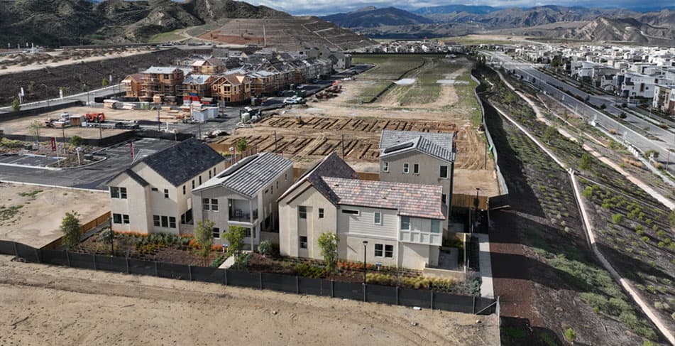 DW-01
DW-01Aerial Photography & Video
20 MP stills and 4K video, edited and delivered
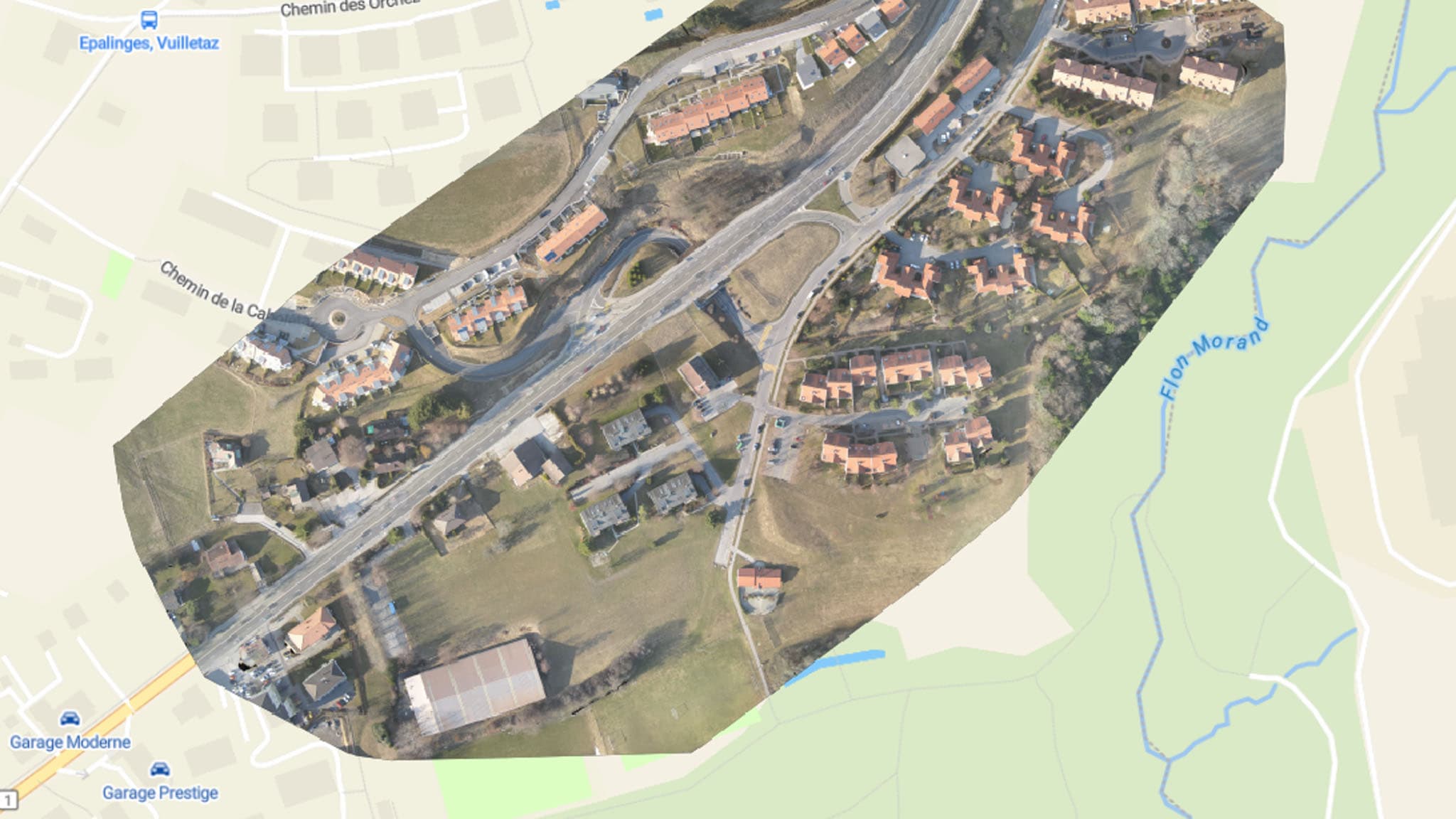 DW-02
DW-02Orthomosaic Mapping & Site Surveys
RTK-corrected orthomosaics built for CAD and GIS
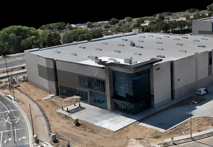 DW-03
DW-033D Modeling & Photogrammetry
Textured meshes and photogrammetric point clouds
 DW-04
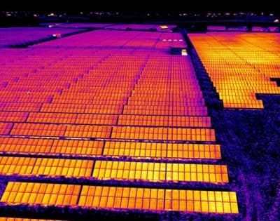
DW-04Thermal Imaging & Inspection
Radiometric surveys for roofs, solar, and infrastructure
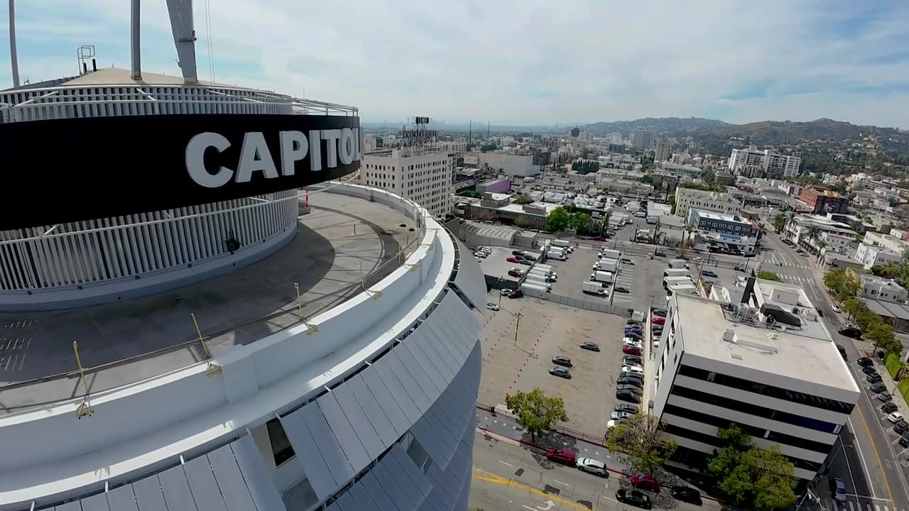
FPV Cinematography
One-take flythroughs and high-speed pursuit
What is always included
The parts other operators bill separately
These are not add-ons. They are what makes a commercial flight legal and defensible, so they are in the base price.
Approval to fly your site
We handle the FAA filing wherever the location needs one, including the extra coordination when a site sits under an airport approach.
Repeatable flight plans
Recurring sites are flown from the same waypoints on every visit, so one month lines up against the next.
Flight logs and records
Every flight is logged with aircraft, pilot, authorization, and conditions. Available whenever a client needs the record.
Travel inside 60 miles
No mileage line item for anything within an hour of downtown Los Angeles.
Tell us what you need documented
Send the address, the deliverable, and your target date. Most quotes go back by the next business day.